Cape Krusenstern National Monument AK
Lat, Long: 67.41499986, -163.5037786
Designation: National Monument
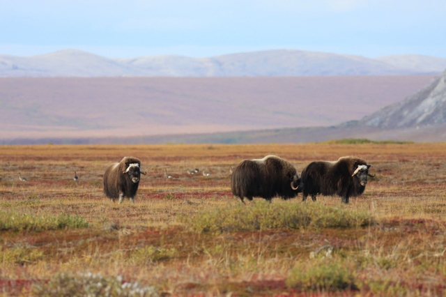
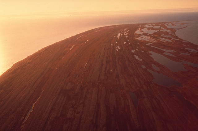
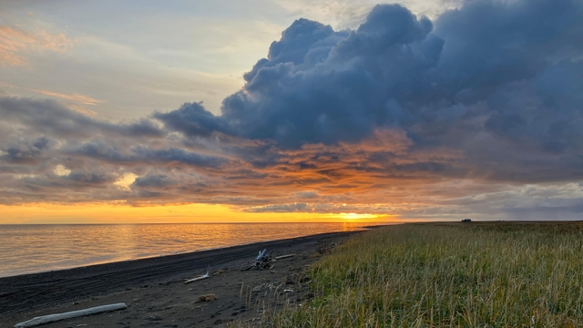
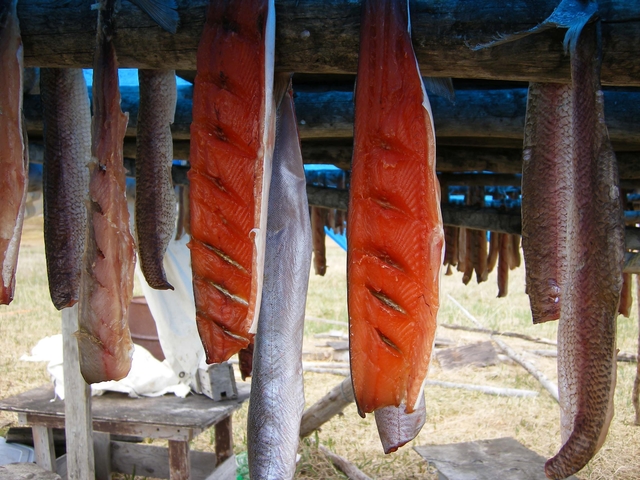
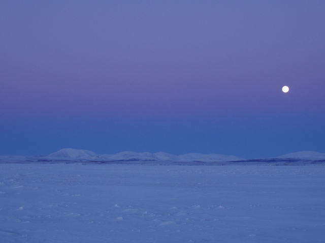
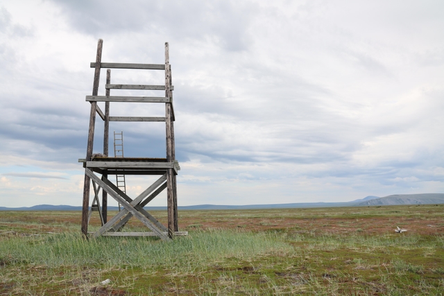
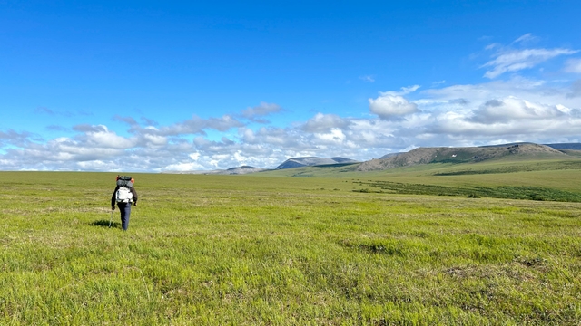
A bridge to the past and a land for the future, Cape Krusenstern National Monument protects approximately 560,000 acres of diverse Arctic coastal, and upland ecosystems. Inhabited by the Iñupiaq people since time-immemorial, over 5,000 years of sequential human use is documented in the 114 successive beach ridges. Rich connections to the land and waters are preserved through subsistence practices.
Weather:
Snow, rain, and freezing temperatures can occur any time of the year. Always travel with good quality rain gear and warm layers. Be especially careful to stay dry. Hypothermia can set in on a windy, wet day, even when it doesn't feel that cold.
Directions:
Cape Krusenstern National Monument lies within a remote area of northwest Alaska and is bordered by the Arctic Ocean and Chukchi Sea. Visitors generally access the monument via the regional hub in Kotzebue. Commercial airlines provide daily service from Anchorage to Kotzebue. Chartered flights with licensed air taxi services, booked in advance, can take backcountry travelers to remote destinations within the monument.
For more details ›Address/Contact:
171 3rd Ave
Kotzebue, US, 99752
Phone: 9073182230
Email: wear_webmail@nps.gov
Entrance Fees:
Entry is free