Little River Canyon National Preserve AL
Lat, Long: 34.41461863, -85.61734327
Designation: National Preserve
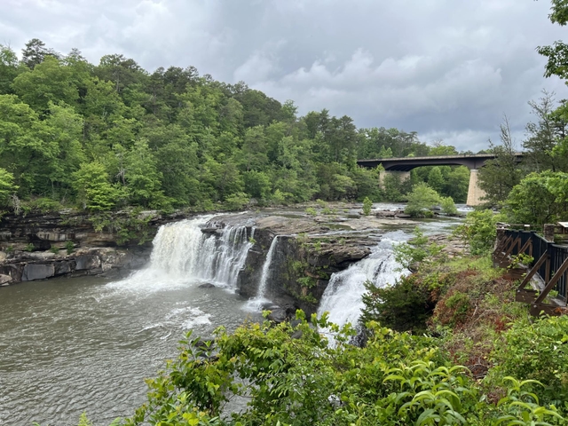
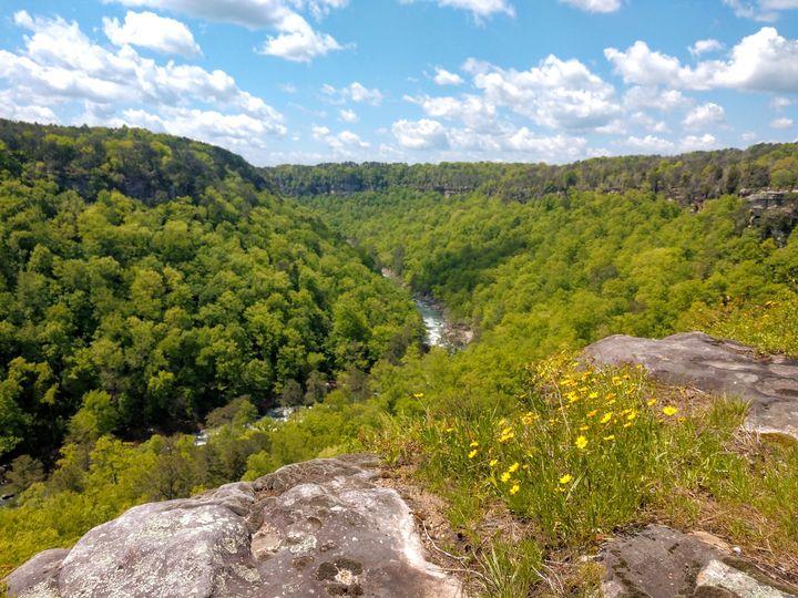
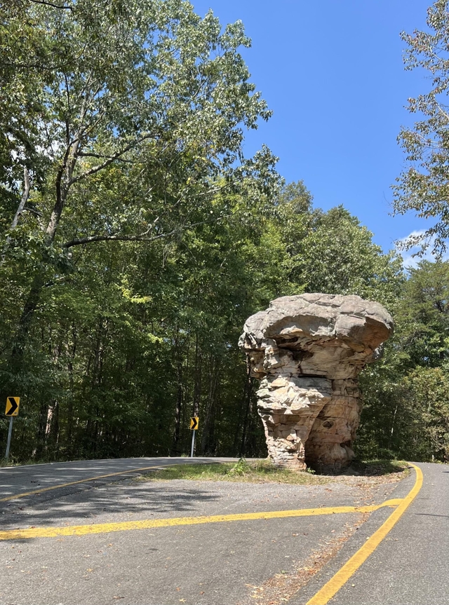
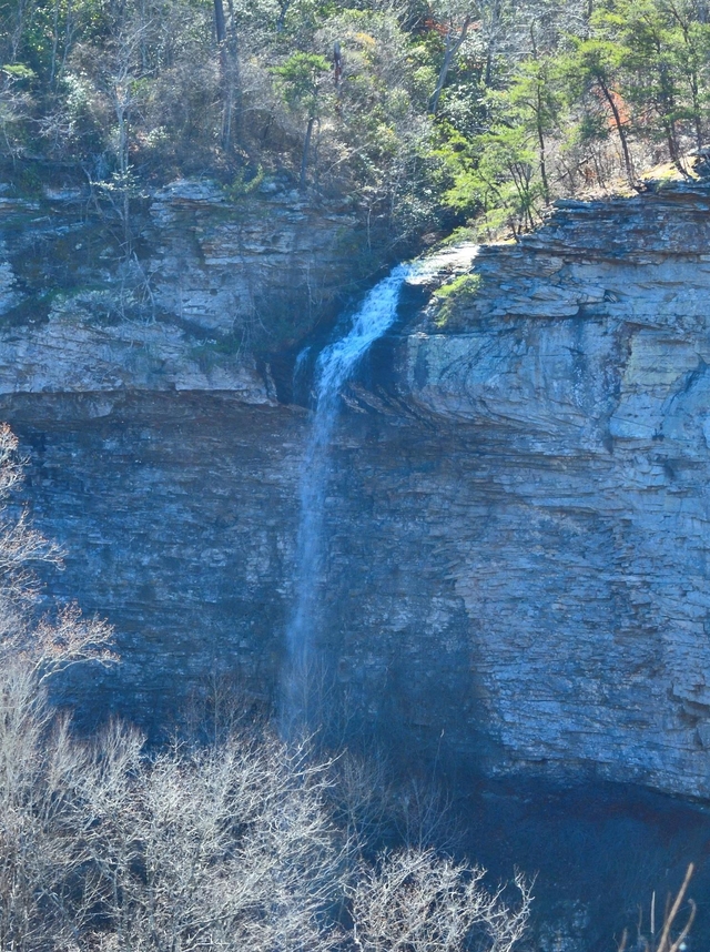
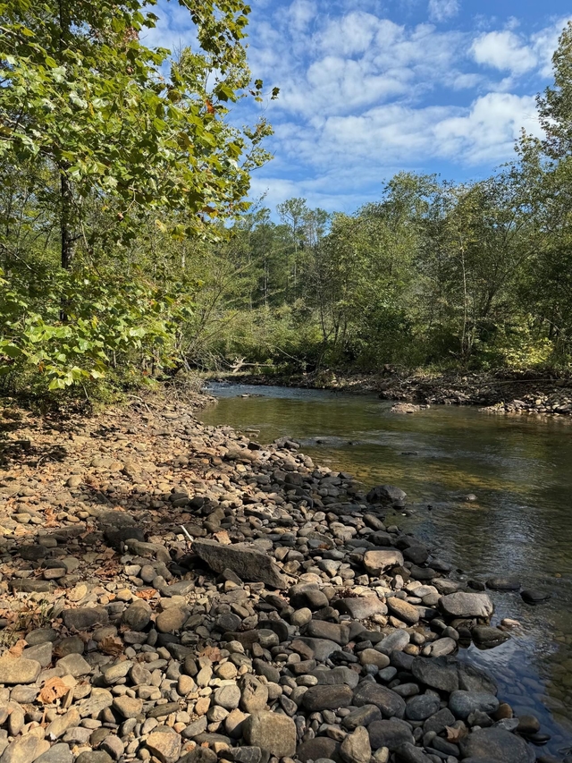
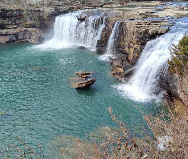
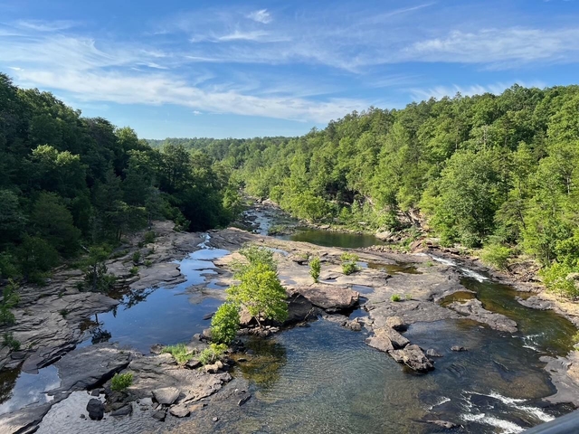
Little River is unique because it flows for most of its length atop Lookout Mountain in northeast Alabama. Forested uplands, waterfalls, canyon rims and bluffs, pools, boulders, and sandstone cliffs offer settings for a variety of recreational activities. Natural resources and cultural heritage come together to tell the story of the Preserve, a special place in the Southern Appalachians.
Weather:
The weather in Fort Payne, Alabama is mild. The average temperature in the winter is in the 50's. The average summer temperature is in the high 80's with high humidity. We receive about 55 inches of rain each year. Snowfall varies, but only lasts a few days per event.
Directions:
Little River Canyon National Preserve follows along the Little River and covers approximately 40 miles from the northeast corner to the southwest corner. The easiest way to access the park is by Alabama Highway 35 about 10 miles east out of Fort Payne, Alabama. Interstate 59 is the closest interstate.
For more details ›Address/Contact:
4322 Little River Trail NE Suite 100
Fort Payne, US, 35967
Phone: 2568459605
Email: liri_information@nps.gov
Entrance Fees:
Entrance - Private Vehicle
$15.00
Admits all persons traveling in a single, private, non-commercial vehicle (car/truck/van/motorcycle) into Canyon Mouth Park for one day. The pass is non-transferable. Insert cash only (no bills larger than a $20) into the fee machine to gain entrance. Place the receipt on the dashboard of your vehicle, making sure the face of the receipt is visible.
Entrance - Motorcycle
$15.00
Valid for 1 day. Admits up to 2 private, non-commercial motorcycles with up to 4 total passengers. The pass is non-transferable. Insert cash only (no bills larger than a $20) into the fee machine to gain entrance. Place the receipt on the dashboard of your vehicle, making sure the face of the receipt is visible.