Kaloko-Honokōhau National Historical Park HI
Lat, Long: 19.68083237, -156.0306932
Designation: National Historical Park
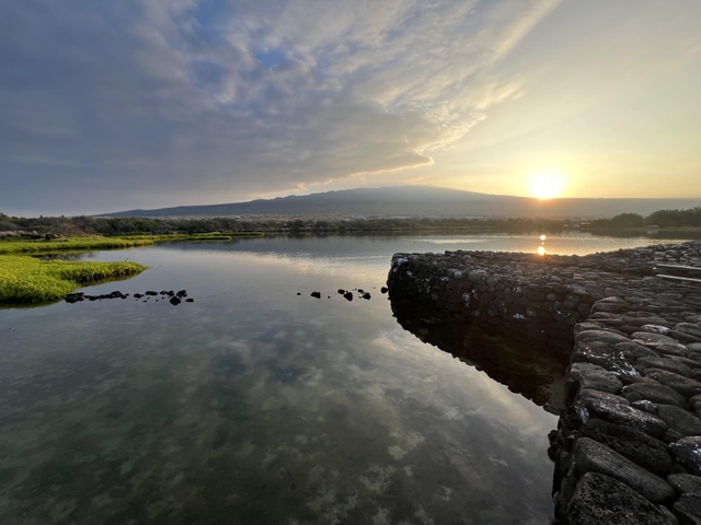
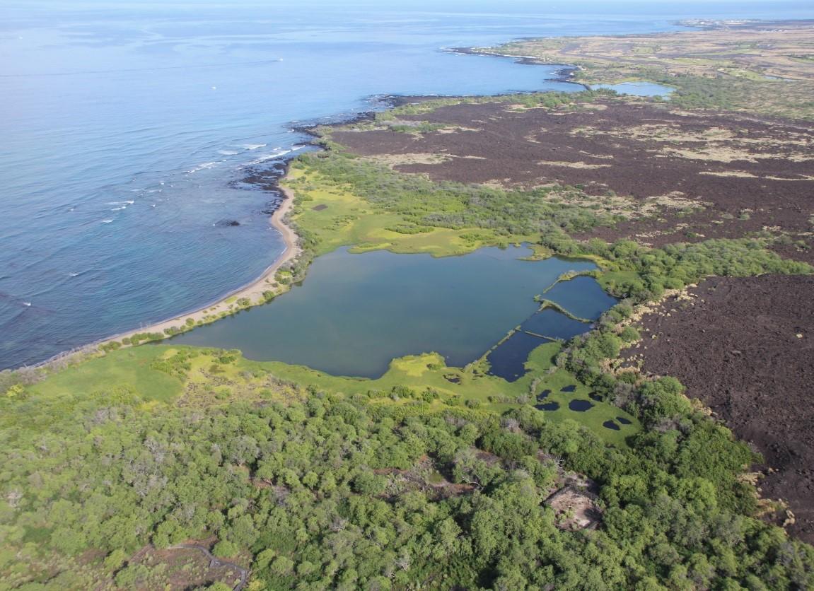
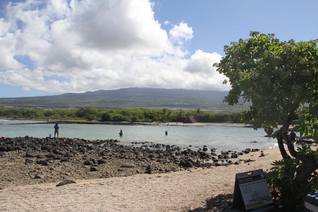
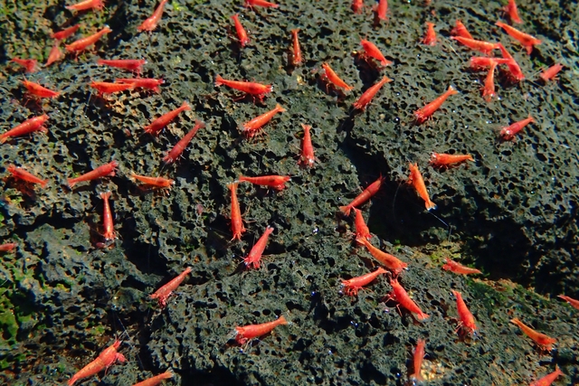
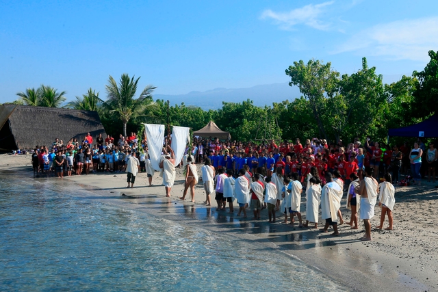
Along the western coastline of the Island of Hawaiʻi lies the hot, rugged lava of Kaloko-Honokōhau. This seemingly barren and harsh landscape does not appear to be suitable for human existence, and yet, long before written history, the Hawaiian people built a thriving settlement upon this ʻaʻā lava.
Weather:
The weather in the park is typically hot and sunny, with temperatures in the upper 80's.
Directions:
Kaloko-Honokōhau National Historical Park is located on the west coast of the island of Hawai'i, approximately 3 miles south of the Keahole International Airport (Kailua-Kona Airport) and 3 miles north of the town of Kailua-Kona, on the ocean side of Highway 19. The visitor center, Hale Ho'okipa, is located half a mile north of the entrance to Honokōhau Harbor. The Kaloko Road gate is located across the highway from the Kaloko New Industrial Park (across from the big yellow "Kona Trade Center" building).
For more details ›Address/Contact:
Visitor Center, Queen Ka'ahumanu Highway, south of 97 mile marker
Kailua-Kona, US, 96740
Phone: 8083296881
Email: kaho_info@nps.gov
Entrance Fees:
Entry is free