Palo Alto Battlefield National Historical Park TX
Lat, Long: 26.02387351, -97.46296072
Designation: National Historical Park
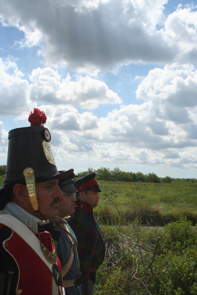
On May 8, 1846, U.S. and Mexican troops clashed on the prairie of Palo Alto. The battle was the first in a two-year long war that changed the map of North America. Although the two countries have developed strong bonds and friendly ties since the war ended in 1848, these neighbors continue to contend with the legacy of the war.
Weather:
Summers are hot and humid. Tropical weather systems generally affect the area from August to October. Winters are usually mild but cold fronts can drop temperatures by up to 30 degrees in about an hour.
Directions:
The park is located on Brownsville's north side, near the city of Los Fresnos. It is just north of the intersection of FM 1847 (Paredes Line Rd.) and FM 511/FM 550.
For more details ›Address/Contact:
7200 Paredes Line Road
Brownsville, US, 78526
Phone: 9565412785
Email: paal_visitor_center@nps.gov
Entrance Fees:
Entry is free